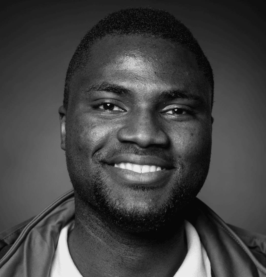
Profile
Orenaike Oluwatosin

-
About Me:
I live in Rochester, UK. I love maps, exploring new places , and using tech to help people . On weekends you’ll find me volunteering, geeking out over science books, or attempting to cook Nigerian food (sometimes it works!). I speak English, Yoruba, some German, and I’m currently learning French 🇫🇷!
-
Read more
Hi! I grew up in Nigeria and moved to the UK for my studies. That journey taught me how connected the world really is—and how important it is to understand different cultures and languages.
I’m a bit of a language nerd. I speak English and Yoruba (my native language), some German from my time studying in Bonn, and I’m currently stumbling through French lessons (it’s harder than I thought!). Learning languages isn’t just about words for me, it’s about connecting with people and their stories.
Maps have fascinated me since I was young. There’s something magical about seeing the world laid out in front of you and understanding how places connect. These days, I combine that love of maps with technology to help people during emergencies and crises around the world.
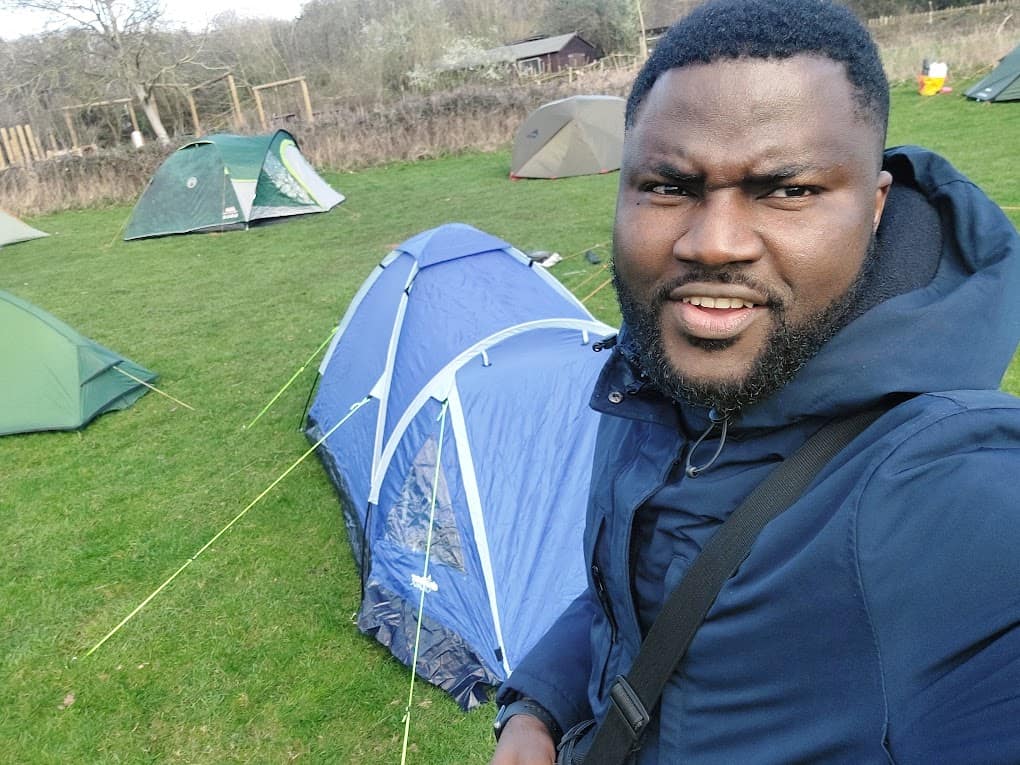
When I’m not working, you’ll usually find me volunteering with humanitarian organizations, getting lost in science books (especially anything about climate or technology), or spending time with my son, Iyanu . I once challenged myself to learn to cook a new dish every month, some turned out great, others… well, let’s just say we ordered takeaway!
I also love to get lost in books , fiction or non-fiction, doesn’t matter. Give me a good story about exploration, science, or different cultures and I’m happy. I particularly enjoy books that make me see the world differently or teach me something new about how people live in other places.
What I love most is bringing all these interests together using maps, data, and technology to tell important stories and help communities around the world stay safe and thrive.
-
My pronouns are:
he/him
-
How I use Geography in my work:
I use geography to understand why and how people move around the world . Just like you might learn about rivers, mountains, and cities in school, I study how these physical features—plus things like climate, conflicts, and opportunities—affect where people live and where they go when they need help. I create maps and analyze data to help organizations provide support to people during emergencies and crises
-
My Work:
I work for the United Nations helping people who have to move because of disasters, conflicts, or emergencies. I use maps and data to figure out where help is needed most and how to get it to people quickly.
-
Read more
My Work (continued):
I work for the International Organization for Migration (IOM), which is part of the United Nations. My job is to help people who have been forced to leave their homes because of wars, natural disasters like floods or earthquakes, or other emergencies.
Here’s what I actually do day-to-day:
Making Maps That Save Lives: I create special maps that show where people are moving to, where they’re coming from, and what help they need. These aren’t like the maps in your atlas—they show real-time information like where shelters are needed or where clean water is running low.
Analyzing Data: I collect information from surveys and reports, then use computers and special software to find patterns. For example, if I notice that lots of families are moving to a certain area, we can prepare food, medical supplies, and shelter there before they arrive.
Building Dashboards: Think of dashboards like the dashboard in a car—but instead of showing speed and fuel, mine show important information about humanitarian crises. Aid workers can look at my dashboards to quickly understand what’s happening and make decisions about where to send help.
Supporting Multiple Countries: I don’t just work in one place. I help IOM teams in over 15 different countries across Africa, Europe, and Asia. Sometimes this means traveling to meet teams in person, but often I work remotely using technology.
Training Others: I teach other aid workers how to collect better data, create maps, and use technology tools. This means my work helps even more people because I’m building skills in whole teams.
The best part? Knowing that the maps and data I create help get food, shelter, and medical care to real people who desperately need it. Geography isn’t just about knowing where places are, it’s about understanding how to help people wherever they are.
-
My Typical Day:
I’m an early riser! I wake up around 4am for reading, stretching, and planning my day. I start work at 9:30am—sometimes from home, sometimes I travel to my office in London . My day is filled with checking data, creating maps, answering emails from teams around the world , and video calls with colleagues. I have a quick lunch break, then back to work until 4pm or 5:30pm. If I’ve been in London, I hop on the train back to Rochester!
-
Read more
My Typical Day:
I’m an early riser! I wake up around 4am for reading, stretching, and planning my day. I start work at 9:30am—sometimes from home, sometimes I travel to my office in London . My day is filled with checking data, creating maps, answering emails from teams around the world , and video calls with colleagues. I have a quick lunch break, then back to work until 4pm or 5:30pm. If I’ve been in London, I hop on the train back to Rochester!
My Typical Day (continued):
Early Morning (4am-9am) I know, 4am sounds crazy! But I love the quiet morning hours. I wake up, do some reading (sometimes the Bible, sometimes a good book), stretch to wake up my body, and plan what I need to accomplish that day. This quiet time helps me focus before the busy workday starts.
Getting to Work (9:30am) Some days I work from home at my desk with my computer and multiple screens showing different maps and data. Other days, I travel to London where my office is located. The train journey takes about 40 minutes, and I usually use that time to read emails or listen to podcasts.
Morning Work (9:30am-1pm) First thing? Check my emails! I work with teams in different time zones—Africa, Asia, Europe—so there’s always something waiting for me. Then I review my task list and figure out what’s most urgent.
My morning might include:
- Analyzing survey data from a country experiencing a crisis
- Creating or updating maps showing where displaced people are located
- Having video calls with field teams who need technical support
- Writing code in Python or R to process large datasets
- Building dashboards so aid workers can see real-time information
Lunch Break (1pm-1:45pm) I take 30-45 minutes to grab lunch. Sometimes I bring food from home, other times I’ll get something from a local shop. If I’m in the office, I might eat with colleagues and chat about projects or just regular life stuff!
Afternoon Work (1:45pm-4pm or 5:30pm) Back to work! Afternoons might be spent:
- Training other staff members on how to use mapping software
- Troubleshooting problems with data collection forms
- Attending meetings about upcoming projects
- Finishing up maps or reports that need to be delivered
- Testing new tools or techniques to improve our work
The exact time I finish depends on when I started, if I began at 8am, I finish at 4pm. If I started at 9:30am, I work until 5:30pm.
Evening (After work) If I’ve been in London, I catch the train back to Rochester. Once home, I spend time with my son Iyanu, maybe cook dinner (or attempt to!), and unwind. Some evenings I volunteer or work on personal projects, but I try to switch off from work mode.
No two days are exactly the same—that’s what I love about this job! One day I might be responding to an earthquake in Turkey, the next day supporting refugee response in East Africa. It keeps things interesting!
-
Education:
I had my basic education in Lagos, Nigeria, I was always that kid asking “why” about everything—why do rivers flow certain ways? Why do people live where they do? Why are some places hotter than others?
For my undergraduate degree, I studied Geography at Obafemi Awolowo University in Osun State, Nigeria (2009-2013). This is where I learned the foundations—GIS, remote sensing, statistics, and how physical geography connects to human lives.
Then I moved to Germany for my Master’s degree in Geography of Environmental Risks and Human Security at the United Nations University (UNU-EHS) and University of Bonn (2019-2021). This focused on disaster risk, climate change, and how to help communities stay safe during crises. Living and studying in Germany was a huge challenge—new language, new culture, cold weather!—but it opened up my career to international humanitarian work.
-
Qualifications:
BSc Geography – Obafemi Awolowo University, Nigeria (2013)
MSc Geography of Environmental Risks and Human Security – UNU-EHS & University of Bonn, Germany (2021)
ALX Software Engineering Programme (2023) – Learned coding, web development, and database management
Data Engineering Zoomcamp (DataTalks.Club, 2024) – Specialized training in handling big data and building data pipelines
-
Work History:
Work History:
My career path definitely wasn’t a straight line—and that’s totally okay! Here’s how I got to where I am today:
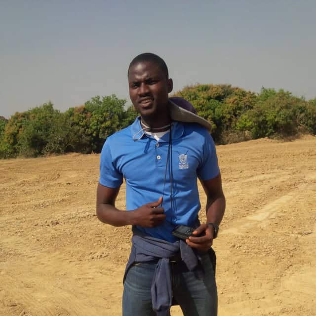
Right After University (2014-2016): Mining Company Straight after finishing my BSc in Geography, I worked for Promethean Resources, a mining company in Jos, Nigeria. I was a Geo-Informatics and Data Analyst, which basically meant I used maps and GPS technology to help find minerals like tin and coltan (a mineral used in mobile phones!). I’d go out into remote areas, survey the land, create maps of mining sites, and analyze data about where valuable minerals might be. It was hot, dusty work—completely different from sitting at a desk! But it taught me really important skills about working with spatial data and GPS technology that I still use today.
At the Same Time: Emergency Response Volunteer (2014-2015) While working at the mining firm, I also volunteered as President of the National Emergency Vanguard with Nigeria’s disaster management agency (NEMA). I was passionate about helping communities prepare for disasters like floods and fires. I’d lead meetings, give talks about disaster preparedness, and help assess risks in local communities. This is where I realized I wanted to use geography to help people, not just extract resources.
The Big Move: Germany (2017-2018) I left Nigeria to pursue better opportunities in humanitarian work and research. I moved to Bonn, Germany—big culture shock! I started volunteering everywhere I could to gain experience:
- German Red Cross – Helped at refugee homes, distributing resources and supporting people who had fled conflicts
- UN-SPIDER (UN disaster risk reduction office) – Worked with satellite imagery and GIS for disaster response
- COP23 Climate Conference – Volunteered helping organize this massive global climate meeting
- Various UN events – Any chance to learn and contribute!
I also worked part-time jobs to support myself, including volunteering at AIESEC (an international student organization).
Graduate Studies & Research (2019-2021) While doing my Master’s degree, I worked multiple jobs:
- European Commission (Joint Research Centre) – Analyzed disaster risk data
- United Nations University – Research assistant studying drought risks, plus teaching GIS to students
- ZEF Development Research Centre – Helped PhD students with their research and data
I was basically working and studying at the same time—exhausting but worth it!
Finally: The UN Career Begins! (2021-Present) 🌍
- UNDP (2021-2022) – Internship working with geospatial data for development
- IOM – Current job (2021-Present) – Data scientist and GIS specialist supporting migration and displacement response
The Lesson? My career went from mining → volunteering → odd jobs → research → UN work. It wasn’t a straight path, and there were definitely times I wondered if I’d made the right choices. But every single job—even the ones that seemed unrelated—taught me something valuable. The mining work taught me technical GIS skills. The volunteer work taught me about humanitarian response. The reception job taught me patience and organization. It all connected eventually!
So if you’re worried your career path isn’t “perfect”—don’t be! Sometimes the winding road leads to exactly where you’re meant to be.
-
Current Job:
Data and GIS for United Nations
-
Employer:
UN-IOM
-
My Interview
-
How would you describe yourself in 3 words?
map-making migration geographer
What did you want to be after you left school?
An Accountant
Were you ever in trouble at school?
I used to be playful then read a book on how to read and that changed everything, it was an eye opener.
If you weren't doing this job, what would you choose instead?
Maybe a Teacher.
Who is your favourite singer or band?
At the moment, Asa
What's your favourite food?
Bread and Beans!
If you had 3 wishes for yourself what would they be? - be honest!
1. For geography and geospatial work to be properly valued Honestly? I wish more people understood how crucial geography is to solving real-world problems—and paid us accordingly! We're out here helping with disaster response, climate change, migration crises, urban planning... yet geography often gets overlooked compared to other STEM fields. I'd love to see more young people choosing geography as a career, more funding for geographic research, and salaries that reflect how important this work actually is. When I tell people "I'm a geographer," I don't want them to think I just memorize capital cities—I want them to know we're changing lives! 2. To become fluent in French (and maybe Spanish too!) 🇫🇷🇪🇸 I'm terrible at staying consistent with language learning! I'll practice for two weeks, then life gets busy and I forget everything. I wish I could just wake up one day and suddenly speak French perfectly. It would help me so much in my work since many countries I support are French-speaking, and honestly, I just love the way languages open up new worlds. 3. More time with my son, Iyanu This is the hardest one. My job involves a lot of travel and working with teams across different time zones, which sometimes means late calls or early mornings. I wish I had a magic pause button so I could freeze time and have more adventures with him going to museums, playing football in the park, or just being silly together without worrying about work deadlines.
Tell us a joke.
Little Johnny is sitting in Geography class. Suddenly, he raises his hand. "Yes, Johnny?" says the teacher. "Sorry Miss, but I was wondering... is the Earth really flat?" The teacher sighs, clearly annoyed. "No, Johnny. It's round. We've been over this. Any other questions?" Johnny thinks for a moment, then his hand shoots up again. "Yes... how did the Dead Sea die?"
-
Comments